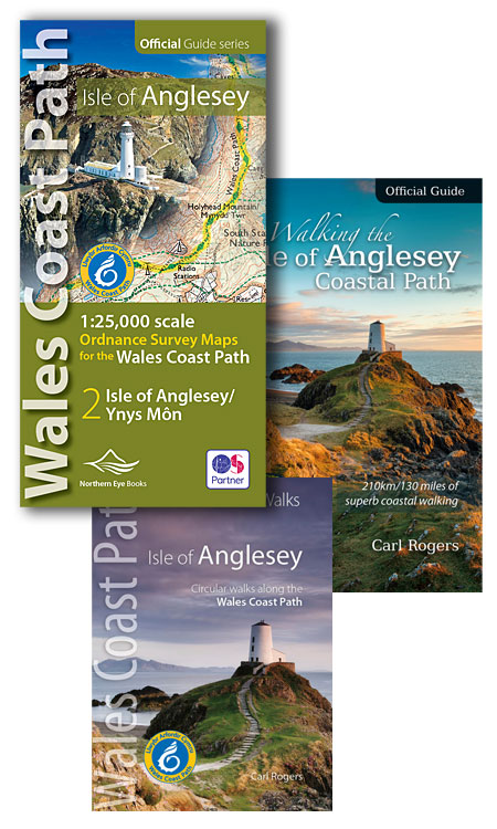
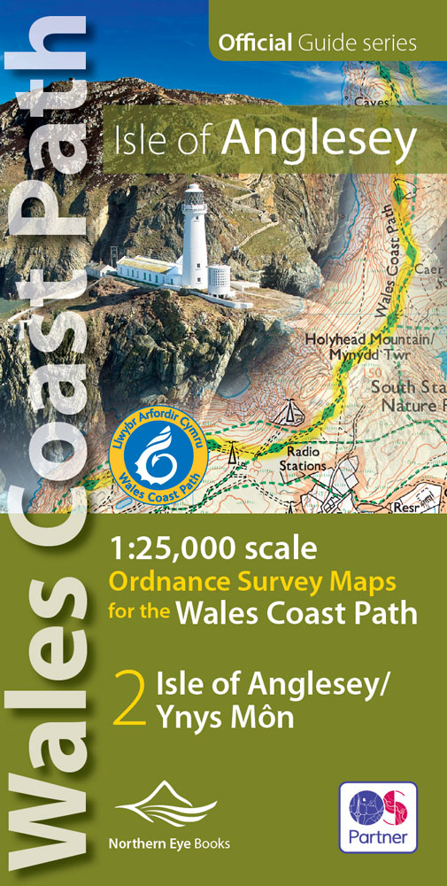
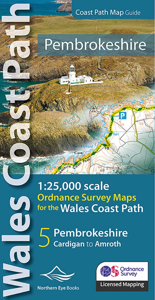
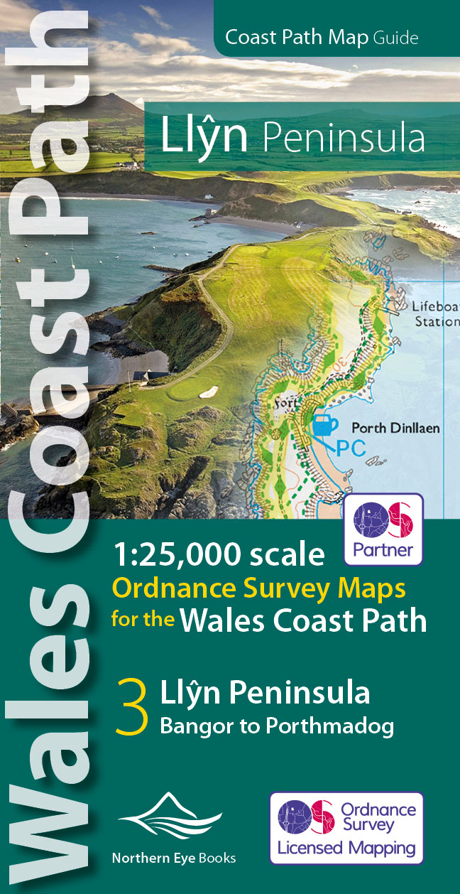
Description OS Map Atlas: Wales Coast Path: Pembrokeshire Coast Northern Eye Books’ Ordnance Survey map book series combines the very best large-scale Ordnance Survey Explorer mapping with the in-depth, up-to-date knowledge of the publishers of the Official Guides to the Wales Coast Path. These handy map atlases are ideal for both leisure walkers and long distance walkers, hikers, off-road cyclists, surfers, swimmers, horse riders and anyone who enjoys outdoors recreation. The Wales Coast Path (WCP) is a continuous, unbroken, 870-mile/ 1400-kilometre long-distance path that runs around the entire coast of Wales — from Chester in the north to Chepstow in the south. The main sections of the Wales Coast Path are: 1: North Wales Coast (Chester to Bangor), 2: Isle of Anglesey (Bangor to Menai Bridge), 3: Llyn Peninsula (Bangor to Porthmadog), 4: Snowdonia & Ceredigion Coast (Porthmadog to Cardigan), 5: Pembrokeshire (Cardigan to Tenby and Amroth), 6: Carmarthen Bay & Gower (Amroth to Swansea), and 7: South Wales Coast (Swansea to Chepstow). Each map book matches one of the seven sections covered by the Official Guidebooks — as endorsed by Natural Resources Wales, who created and manage the Path. This map book, covering the Pembrokeshire Coast section, is one of seven easy-to-use, lightweight, pocket size map books covering the entire Wales Coast Path. This thoughtfully designed book contains 48 pages of enhanced, large scale (1: 25,000) Ordnance Survey mapping in a handy atlas format with all the detailed mapping you need to walk the Pembrokeshire Coast section of the Wales Coast Path. The easy-to-use, continuous OS mapping covers the Wales Coast Path between Cardigan and Amroth. The atlas contains generous coastal extracts from large-scale OS Explorer maps OL35 and OL36 with the latest up-to-date route clearly highlighted in yellow. The atlas also contains an attractive illustrated introduction, plenty of useful information and details of services such as accommodation, youth hostels, campsites, food and drink, pubs, parking, and tourist information centres.